ART PROJECT
CLIFF EDGE PROJECT
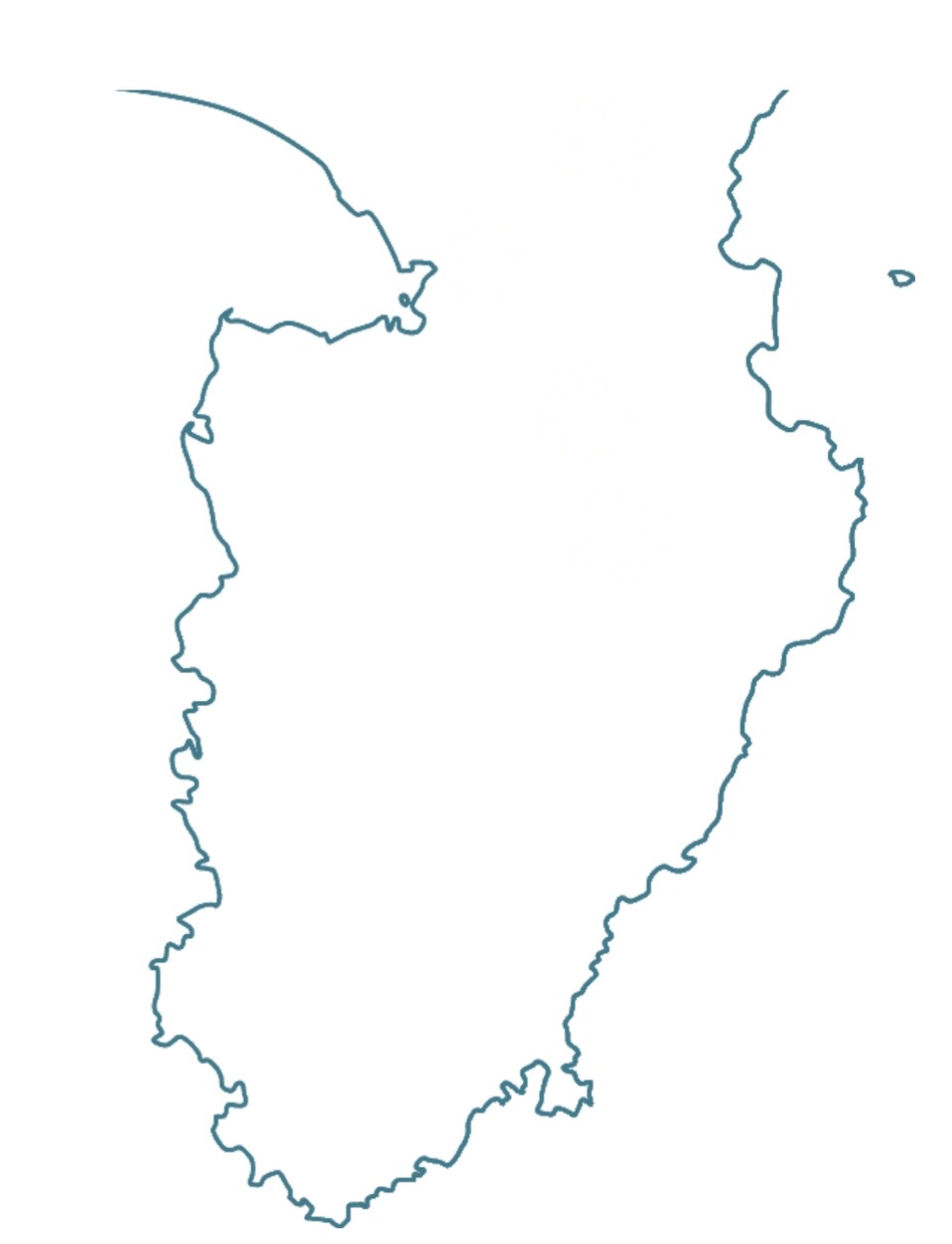
Cliff Edge Project was formed in 2013 by creators in the Izu region of Shizuoka Prefecture. Set on the Izu Peninsula, a landscape formed by volcanic activity and repeatedly reshaped by eruptions, earthquakes, landslides, floods, and civil engineering, the project investigated geology, disaster history, belief, memory, and everyday life, and staged exhibitions in places directly connected to each theme. Its two central aims were the “rediscovery of geological heritage” and the “updating of disaster history.”
The name “Cliff Edge” refers both to the edge of a precipice and to the threshold used in nuclear power plant stress tests, beyond which safety conditions change significantly. The project emerged in the aftermath of the 2011 Great East Japan Earthquake, when the limits between immense natural forces and human attempts to control them through technology became newly visible.
Memories of Tanna (2014) and Scars of the Peninsula (2015) addressed the memories and traces surrounding the Tanna Fault, the North Izu Earthquake, and the Tanna Tunnel. Chroniclers of Water (2018) recorded testimony from people who experienced the Kanogawa Typhoon. The Vibrant Mountains and Rivers (2021) extended the project’s timescale back to the Kawagodaira eruption about 3,200 years ago, while Ubusuna Hydrology (2022–2023) reconsidered the region’s flowing water, beliefs surrounding water, and everyday life through the perspective of hydrology.
Over ten years, Cliff Edge Project grew from researching local places and producing artworks into a field involving people in different positions, including artists, craftspeople, researchers, disaster survivors, local residents, and public institutions. Expanding beyond exhibitions into performance, documentation, archives, and lectures, it explored both how a place can be understood and how that understanding can be shared with others. In 2023, this decade of activity came to a close.
Cliff Edge Projectは、2013年に静岡県伊豆地方のクリエイターらによって結成された。火山活動によって形成され、その後も噴火、地震、土砂災害、洪水、土木事業によって姿を変えてきた伊豆半島を舞台に、土地の地質、災害史、信仰、記憶、暮らしを調査し、それぞれのテーマと関係する場所を会場として展覧会を行ってきた。活動の軸に置いたのは、「地質遺産の再発見」と「災害史のアップデート」である。
「Cliff Edge」という名称には、断崖の先端という意味と、原子力発電所のストレステストにおいて、安全上の状態が大きく変化する限界点という意味が重ねられている。2011年の東日本大震災を経て、巨大な自然の力と、それを技術によって制御しようとする人間の営みとのあいだにある限界があらためて可視化されたことが、活動の出発点となった。
《丹那の記憶》(2014)と《半島の傷跡》(2015)では丹那断層、北伊豆地震、丹那トンネルをめぐる記憶と痕跡を扱い、《水のかたりべ》(2018)では狩野川台風の災害体験者の証言を記録した。《躍動する山河》(2021)では時間軸を約3200年前のカワゴ平噴火まで遡り、《うぶすなの水文学》(2022–2023)では地域を流れる水と、水にまつわる信仰や暮らしを、水文学という視点から捉え直した。
10年間の活動を通して、Cliff Edge Projectは、地域を調査し作品を制作することから、アーティスト、職人、研究者、災害体験者、地域住民、公共機関など、異なる立場の人々が関わる場へと広がっていった。展覧会だけでなく、パフォーマンス、記録、アーカイブ、講演などへ方法を拡張しながら、土地について知ることと、それをどのように他者と共有するかを探ってきた。2023年、この10年間の活動に一区切りをつけた。